
Geography
Istanbul is located at 41 ° K, 29 ° D coordinates. The Çatalca Peninsula in the west and the Kocaeli Peninsula in the east. In the north the Black Sea, the city formed the southern Sea of Marmara and cross the Bosporus, northwestern Tekirdag dependent Saray, west Tekirdag dependent Saray, Tekirdag, Corlu, Tekirdag, southwest Tekirdag connected M.Ereglisi, depending on the northeast in Kocaeli Kandira, depending on the eastern Gulf of Kocaeli, Kocaeli is connected to the southeast in Gebze with neighboring counties. Çatalca Europe and Kocaeli are the main pillars of Istanbul. The Bosphorus in the middle of the city combines these two continents. Fatih Sultan Mehmet and the Bosphorus Bridges on the Bosphorus connect the two sides of the city. It is located along the Bosphorus and around the Golden Horn in the north of Turkey.
Geology
The North Anatolian Fault Line, located near Istanbul, extends from North Anatolia to the Sea of Marmara. Two tectonic plates, Eurasia and Africa, push each other and cause the fault to move. Due to this fault line, there have been very severe earthquakes in the region throughout history. The Great Istanbul Earthquake that took place in 1509 is the biggest example of this. This earthquake in Istanbul caused the destruction of 100 mosques and the loss of 10 thousand people’s lives. In the earthquake of 1766, buildings like Topkapı Palace, Hagia Sophia, Eyüp Sultan Mosque and Grand Bazaar suffered great damage. In the 1999 Gölcük Earthquake, 18 thousand people died and many people were homeless. Seismologists state that they may be in an earthquake of size 7 before 2025.
Climate
Istanbul’s climate is a climate that shows the transition between the Black Sea climate and the Mediterranean climate, so the climate of Istanbul is moderate. The summers of Istanbul are hot and humid; Winters are cold, rainy and sometimes snowy. Because of humidity, the air is warmer than it is hot; It may feel colder than it is cold. The average temperature in winter is around 2 ° C to 9 ° C, with rain and rain mixed with rain. Snow also rains. In the winter months it can snow for a couple of weeks. The average temperature in summer is around 18 ° C to 28 ° C and rain and flooding are common.The hottest months are July and August, the average temperature is 23 ° C, the coldest months are January and February, and the average temperature is 5 ° C. The average temperature in Istanbul is 13.7 degrees.Total annual precipitation is 843.9 mm and is observed throughout the year. 38% of the precipitation is in winter, 18% in spring, 13% in summer and 31% in autumn. Summer is the driest season, but unlike Mediterranean climates, there is no dry season. Istanbul has suffered from thirst until 1994 but there is no water stress with the measure taken.The highest air temperature so far; Was recorded at 40.5 ° C on July 12, 2000. The lowest air temperature is; On February 9, 1929, it was recorded as -16.1 ° C.The city is quite windy; The average speed of the wind is 17 km / h.
Natural life
In Istabul region which has a very rich plant community, about 2500 plant species such as boxwood, oak, plane, beech, hornbeam, maple, chestnut, pine, spruce and cypress are grown. Some of these plants are endemic to this locality. The trees that make up the forests are usually beech, chestnut and stalks which are seen around the northern part of Istanbul, the north of Alemdağ and around Polenezköy. In addition to the effect of climate on plant cover, there is an effect on the soil. While the areas of the beech tree community are covered with untreated brown forest soils, these soils are lime-free in the oak and chestnut community. Having around 2500 natural plant species, Istanbul is able to leave European countries such as England alone with this feature. At the same time, it means that about one-fourth of the naturally grown plants in Turkey are housed in Istanbul; And some of these plants are endemic, ie they live only in Istanbul on the whole world.In Istanbul, rich in animal life, rare mammals such as deer, wild boar, wild cat, wolf, jackal, lynx, bear and fox can be found. However, Istanbul, which is located on an important bird migration route, can observe various bird species such as stork, eagle, falcon and hawk every spring and autumn. The most common birds in Istanbul are the sparrow, pigeon, dove, crow and now the martian, which has become a symbol of the city.
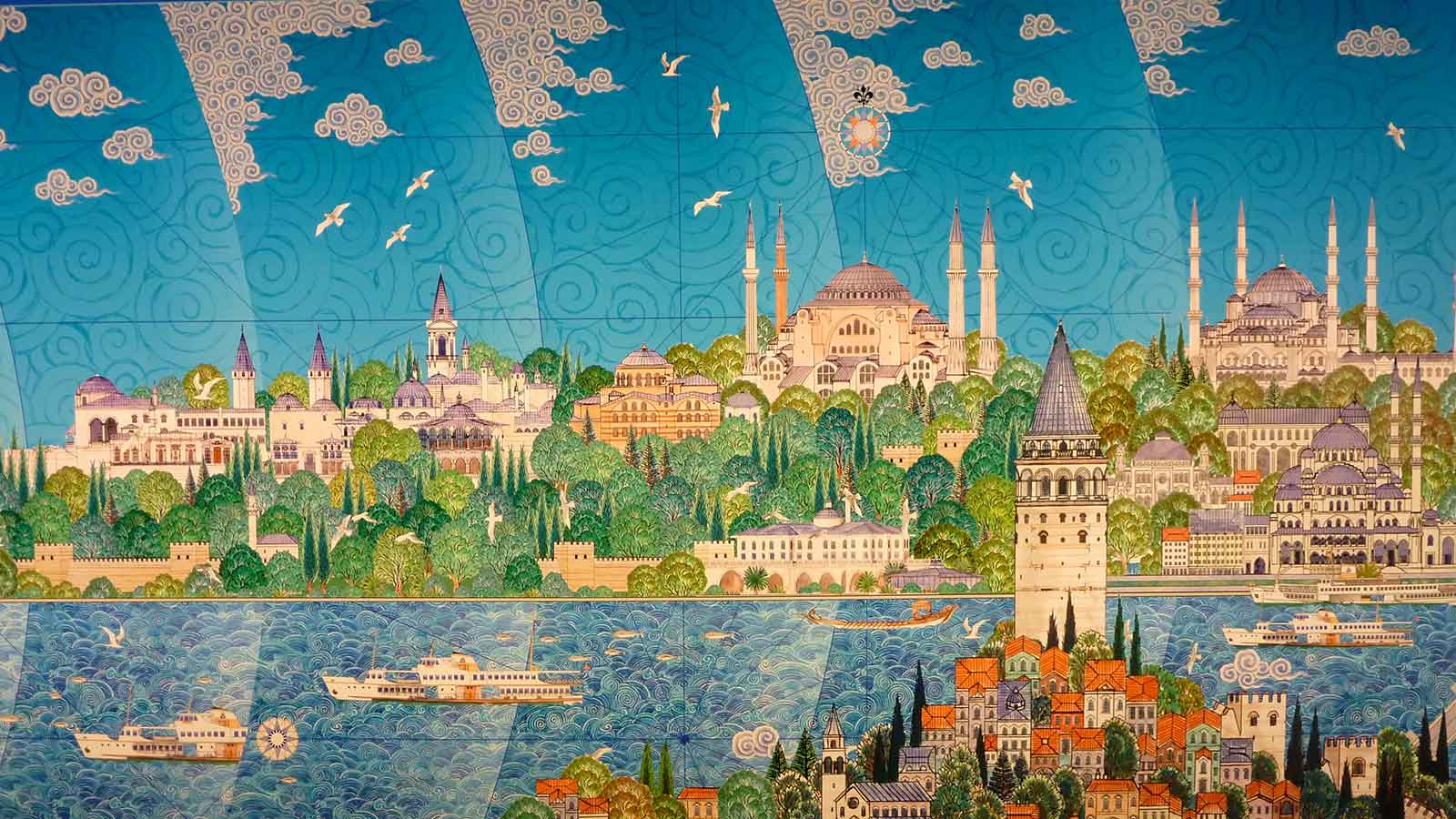
City Panaromas
Istanbul has a total of 39 counties. 25 of these districts are on the European side and 14 are on the Anatolian side. The cities of Istanbul are divided into three main regions:Fatih and Eminönü, the historic peninsula of Old Istanbul (Eminönü is bound to the Fatih district by a law in 2008. Today the peninsula forms the Fatih district). The Golden Horn is located on the northern shores of this region. It stretches as far as the Istanbul Walls in the West. The southern border is the Sea of Marmara. In the east there is the entrance of the Bosphorus.The districts of Beyoğlu and Beşiktaş in the north of the Golden Horn have a great history in terms of history. The palace of the last Ottoman Sultans is at the Dolmabahçe Palace in Kabatas. Along the banks of the Bosphorus, old neighborhoods such as Ortaköy and Bebek follow each other. On both sides of the city there are luxurious boats continuing the Bosphorus.Üsküdar (ancient Chrysopolis) and Kadıköy (ancient Chalcedon) districts were changed in time from old cities to cities and they became the cities of Istanbul. It is the oldest districts of Istanbul on the Anatolian side. Today, many contemporary settlements and business districts have great precaution. The city is home to a third of its population.A great differentiation is seen from the historical districts of Istanbul to the west and north. The highest skyscrapers and office buildings are located on the European side, especially in Levent, Mecidiyeköy and Maslak, while the Anatolian side attracts the Kozyatağı district in Kadıköy district. The rapid growth of the city in the 20th century caused a great migration to the east and west. So the gecekondaşation in the city has gained a great speed. These buildings, built as escape treasures or private terrains, are made in a short time and low quality. These buildings are widespread in Ankara and Izmir which are among the biggest cities of Turkey. Gecekondular causes a great deal of urbanization.